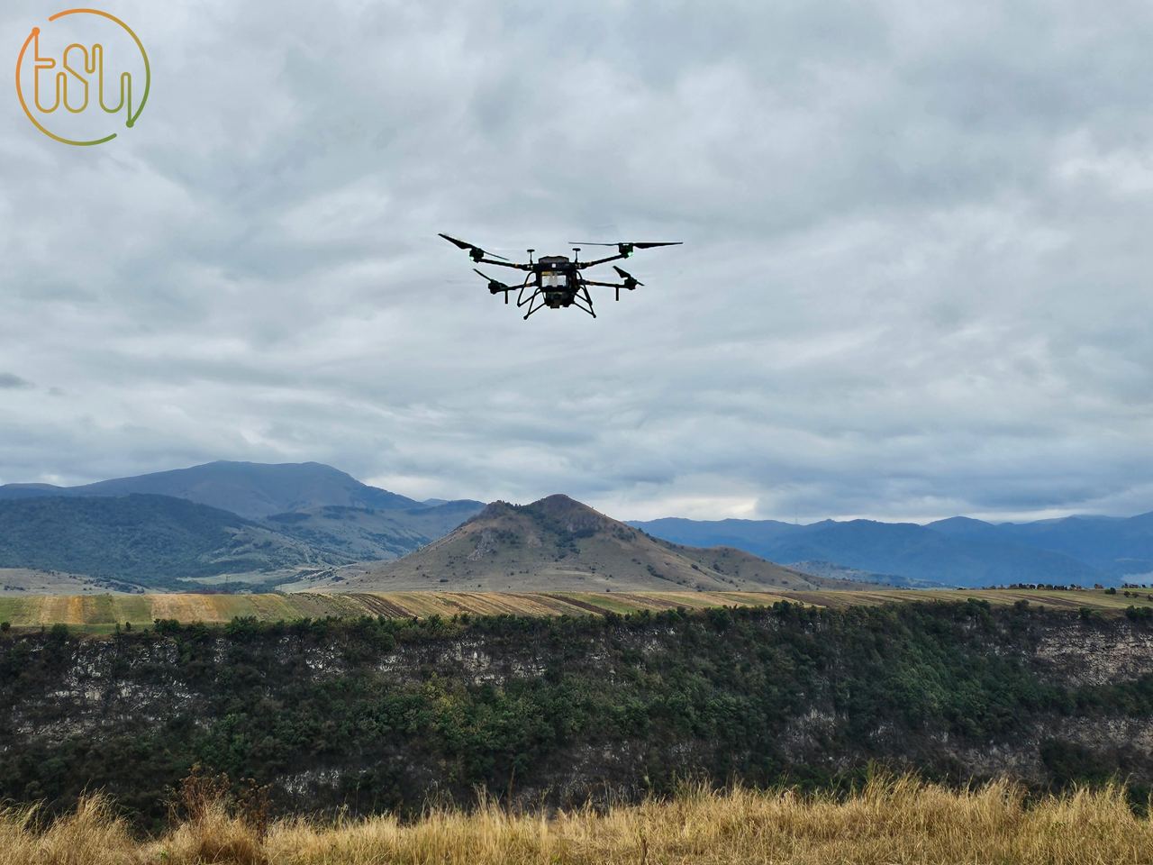
07 Nov Laser scanning of Dzoraget canyon
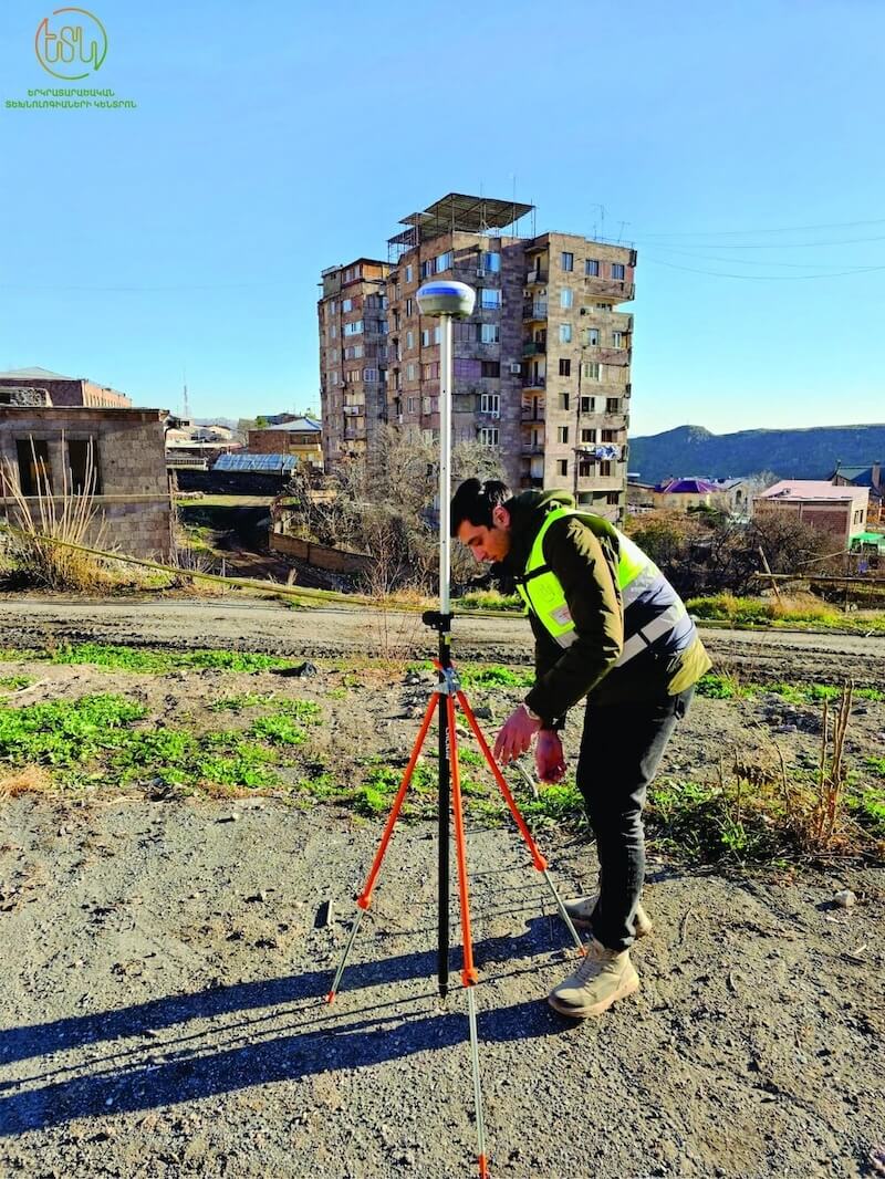
The Center of Geospatial Technologies, known for its commitment to innovation, recently conducted laser scanning of the Dzoraget canyon....
The Centre of Geospatial Technologies is a pioneering company specializing in geodetic surveying, aerial photography, mapping, and three-dimensional modeling of spatial data utilizing state-of-the-art technologies.

The Center of Geospatial Technologies, known for its commitment to innovation, recently conducted laser scanning of the Dzoraget canyon....

Long-awaited news: The Center of Geospatial Technologies was equipped with an AlphaUni 20 laser scanner....

The team of Centre of Geospatial Technologies celebrated the 3rd anniversary of the company’s foundation on August 18....
We extend our heartfelt congratulations to you on this special professional holiday and wish you continued success and achievements....
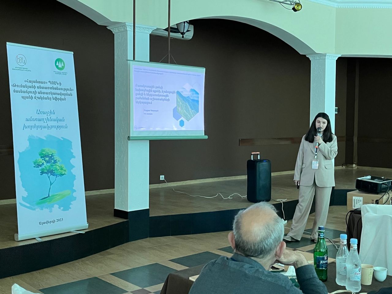
The first forestry meeting dedicated to the development of the forest management plan of Tumanyan forestry was held on June 21, in the city of Alaverdi....

We are happy to inform you that, continuing the cooperation with the Forestry Committee of the RA, we will implement the development of the forest management plan for the next 10 years of Tumanyan forestry....
The process of researching historical and cultural objects, assessing their actual condition, and collecting information about them has become faster and more efficient with the use of the laser scanning method....
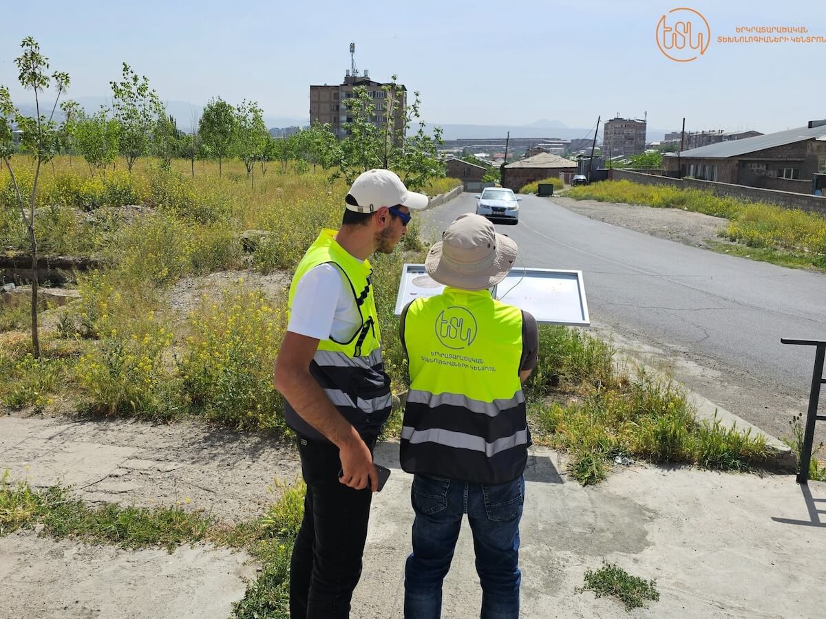
The Center of Geospatial Technologies has prioritized the utilization of cutting-edge technologies and solutions to ensure exceptional geodetic precision....

Highlighting the significance and potential of LIDAR technology, we now delve into its application in the mining domain....
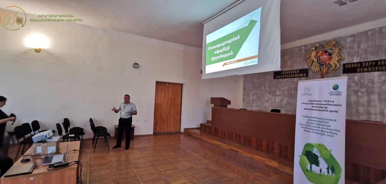
The first public discussion regarding the preliminary environmental impact assessment application of the forestry project of Vayots Dzor forestry was held on December 27 in Yeghegnadzor....