The Centre of Geospatial Technologies is a pioneering company specializing in geodetic surveying, aerial photography, mapping, and three-dimensional modeling of spatial data utilizing state-of-the-art technologies.
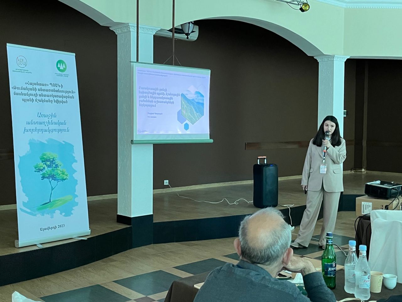
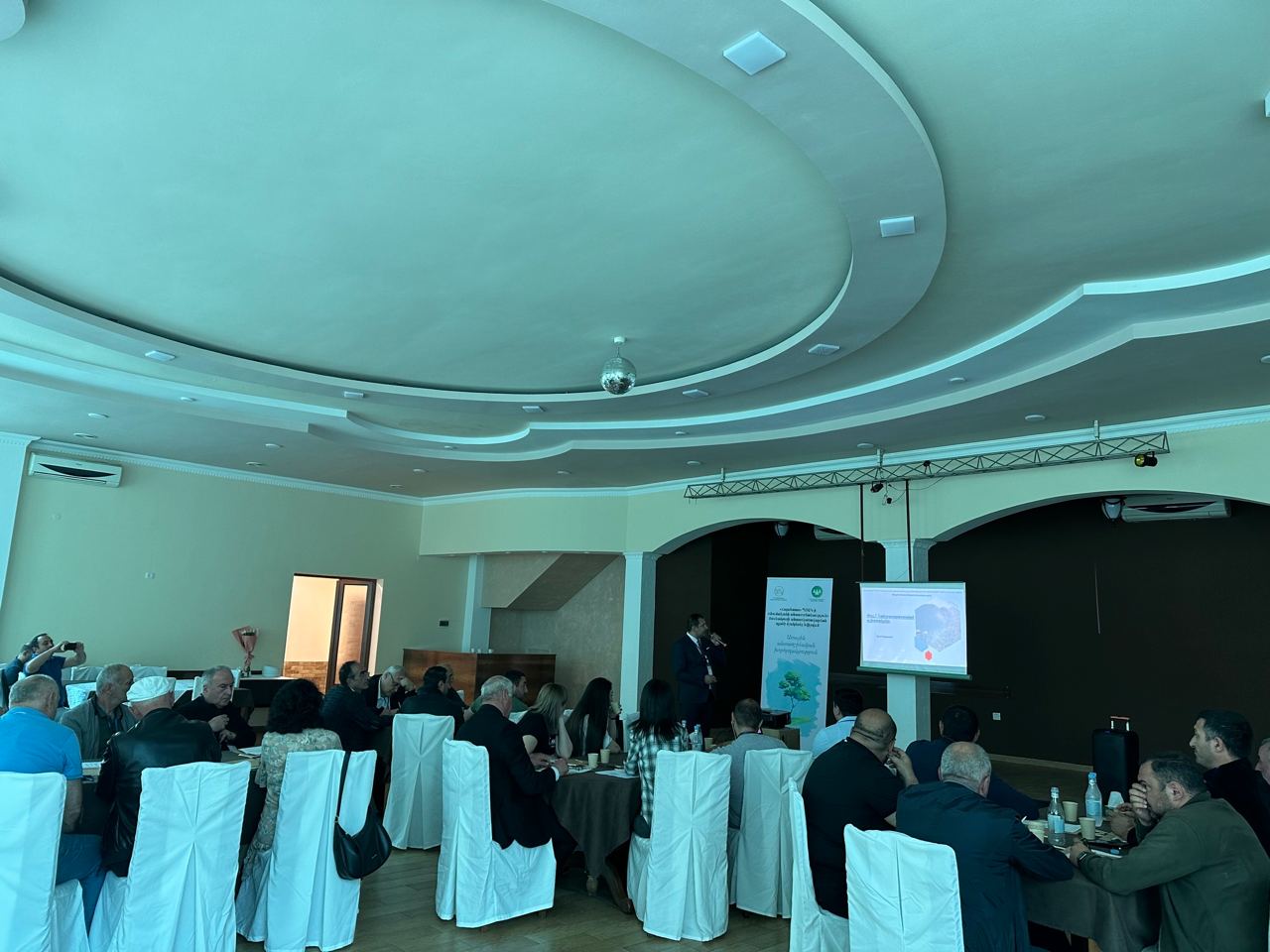
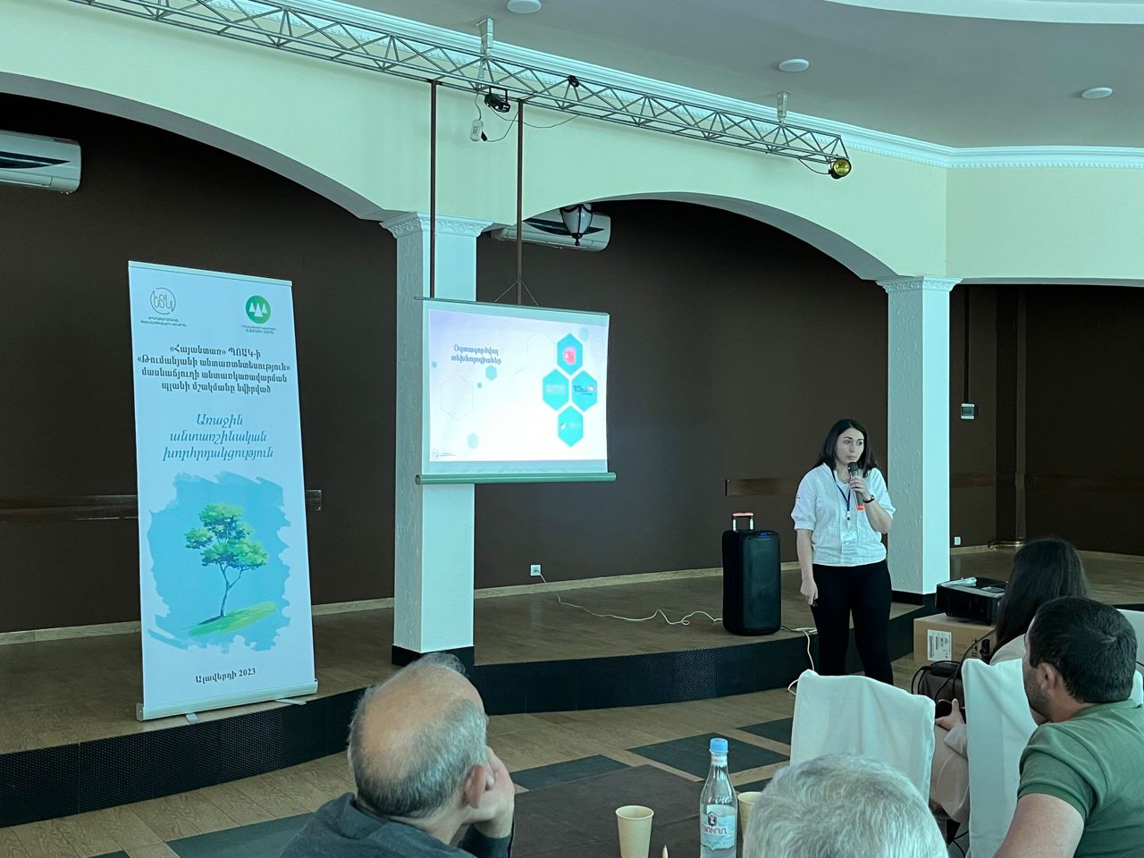
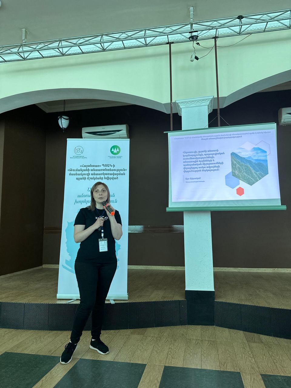
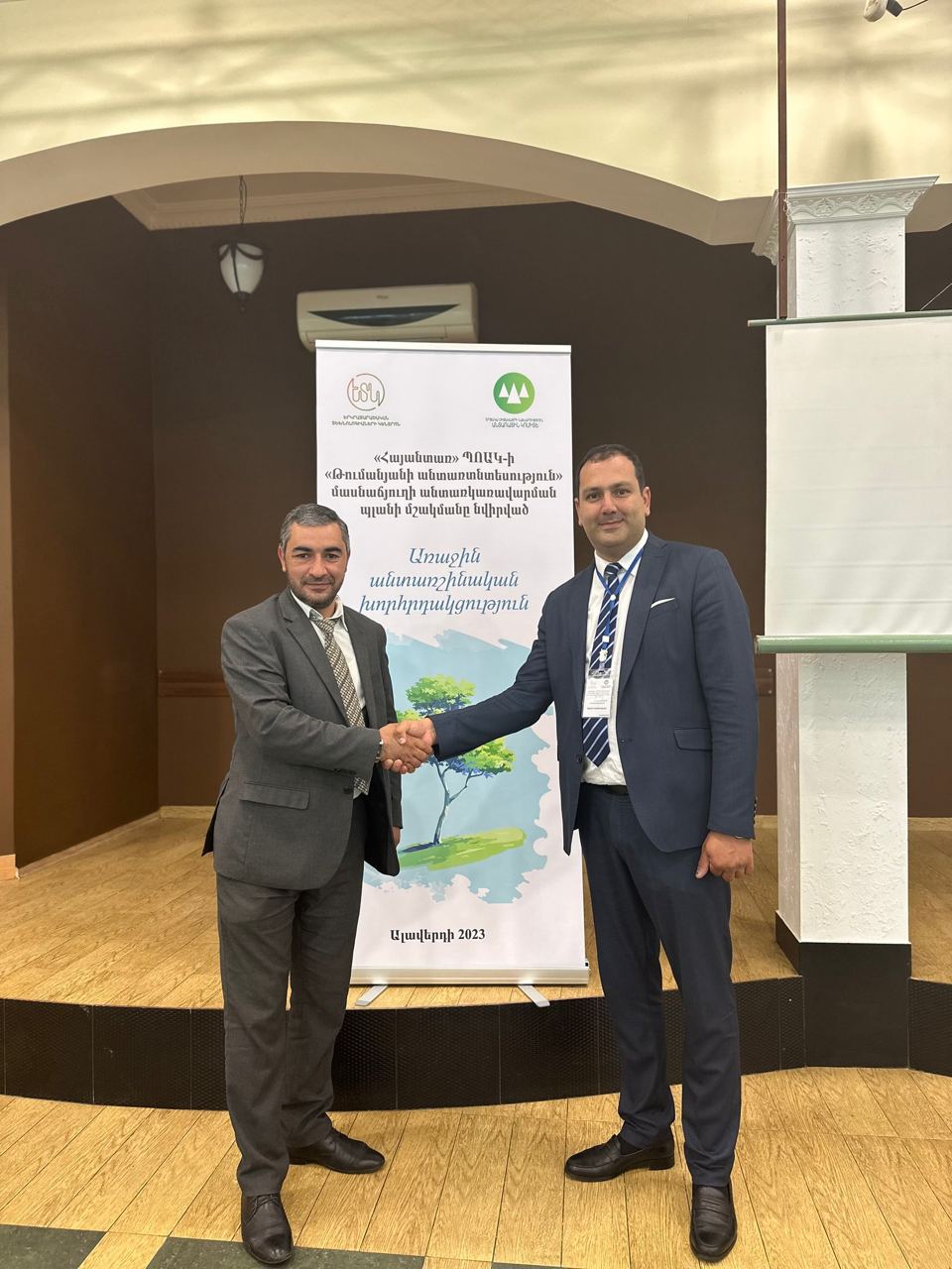
The first forestry meeting dedicated to the development of the forest management plan of Tumanyan forestry was held on June 21, in the city of Alaverdi.
Representatives of the Forestry Committee, "Hayantar" SNOC, Tumanyan forestry and community representatives participated in the meeting.
We thank all the participants for the effective implementation of discussions and cooperation.