The Centre of Geospatial Technologies is a pioneering company specializing in geodetic surveying, aerial photography, mapping, and three-dimensional modeling of spatial data utilizing state-of-the-art technologies.
The process of researching historical and cultural objects, assessing their actual condition, and collecting information about them has become faster and more efficient with the use of the laser scanning method.
This innovative technique not only accelerates the information collection process but also ensures exceptional accuracy of the data.
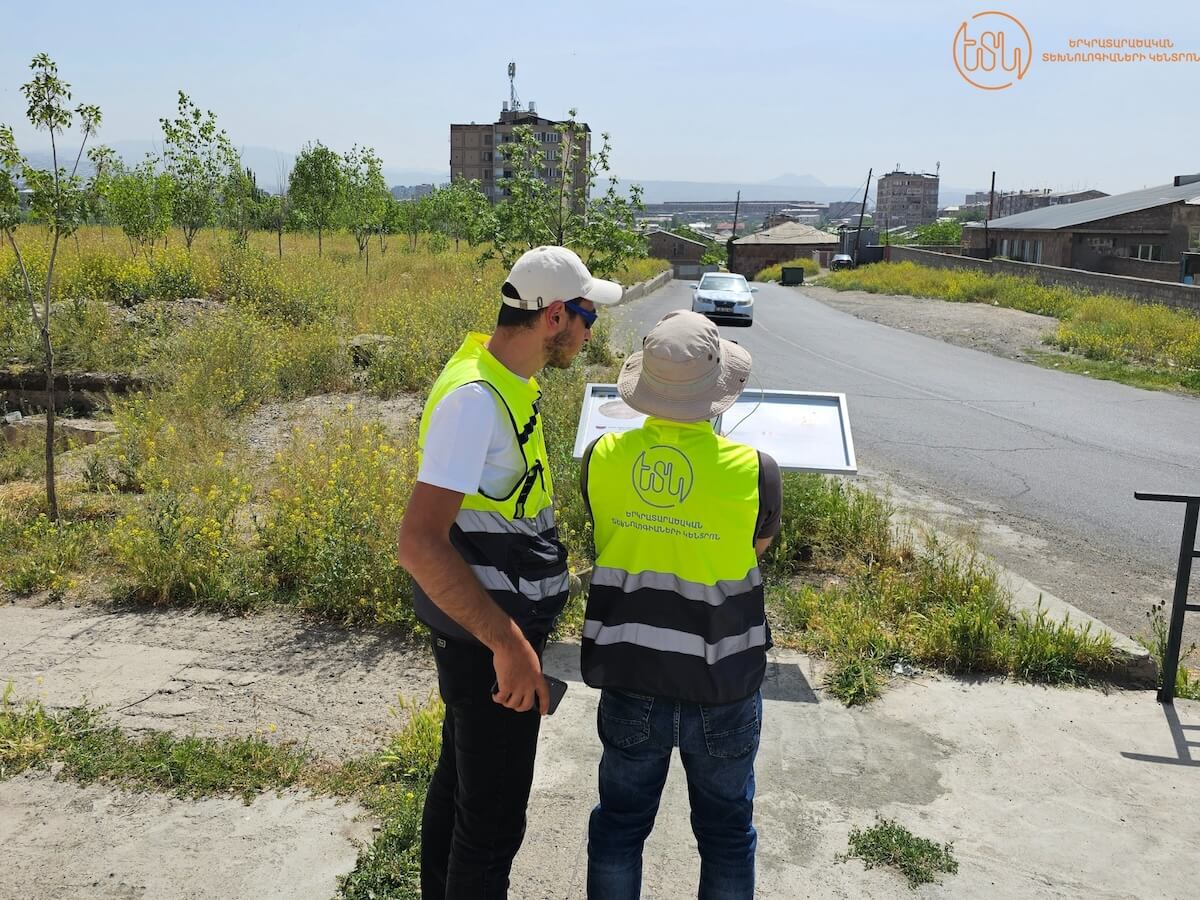
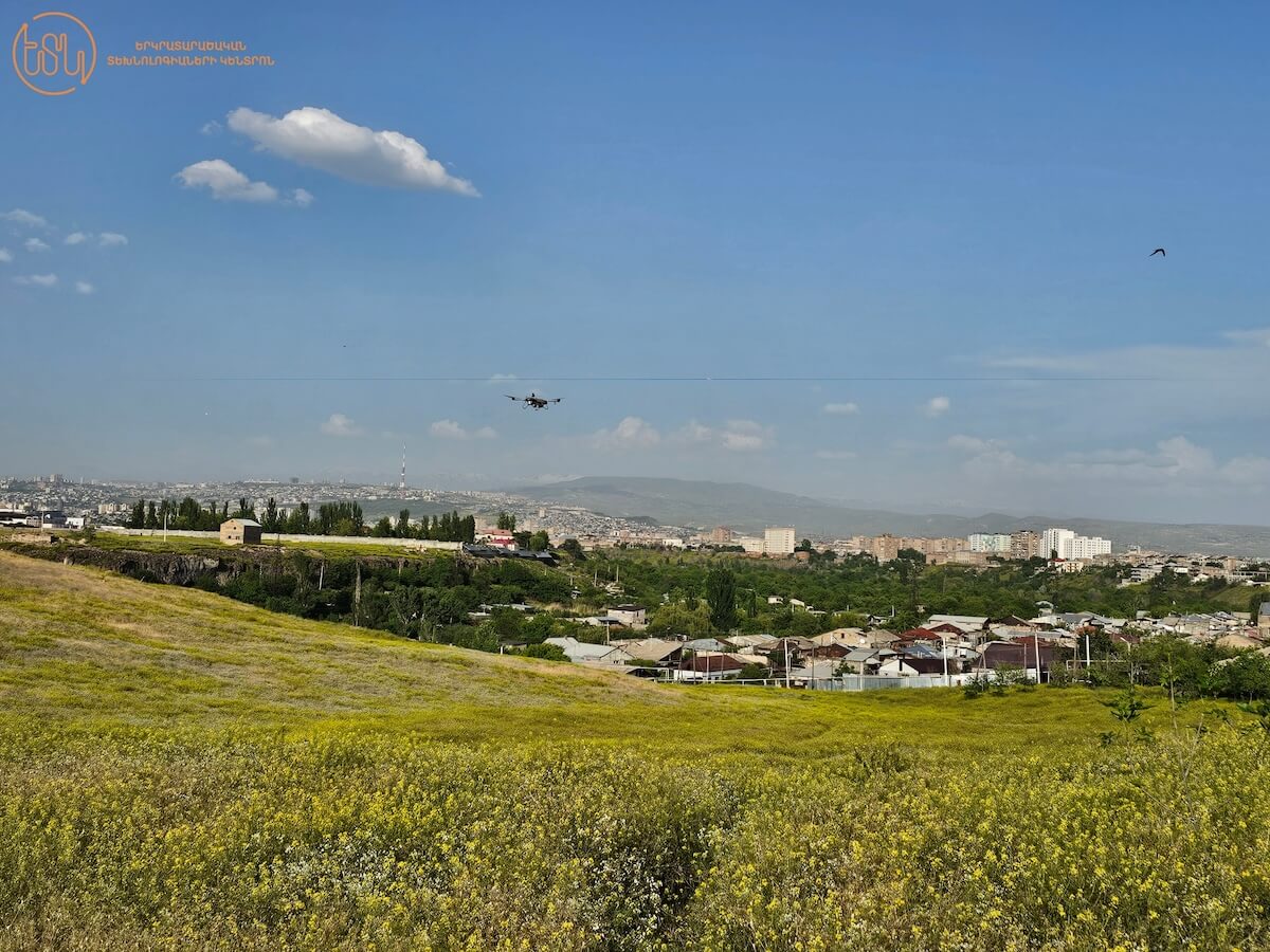
An illustration of this is the laser scanning conducted in the vicinity of the Karmir Blur ancient site, achieved through collaboration with the Erebuni Historical Archaeological Reserve-Museum.
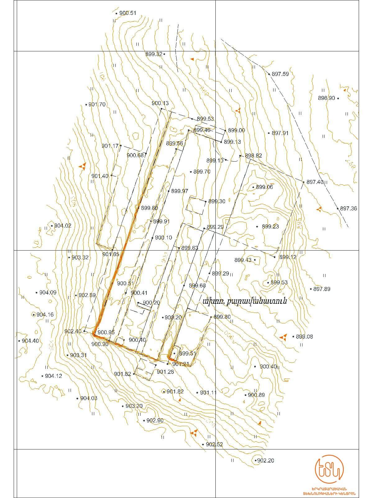
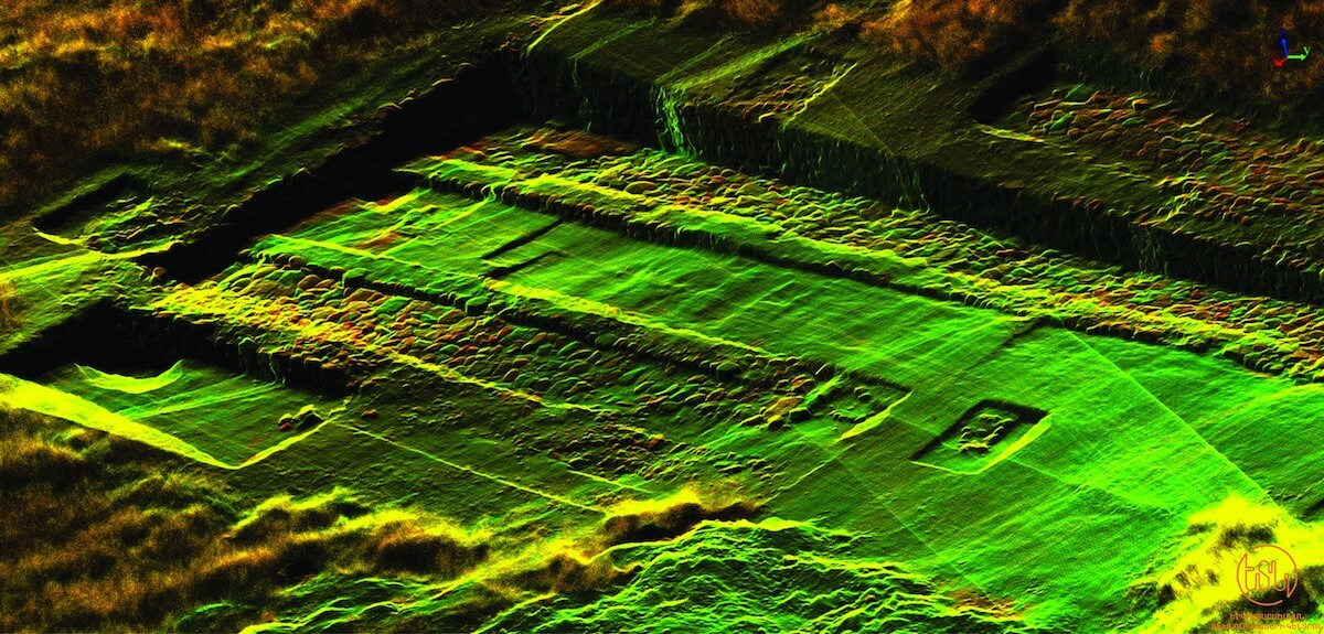
Our team employed state-of-the-art techniques to conduct laser scanning of the historic stable-caravan dating back to the 7th century, along with its surrounding area. This included point cloud processing and the generation of a detailed topographic map.
The resulting point cloud provides invaluable insights, allowing us to assess the site’s current condition and preserve high-precision data for future generations.