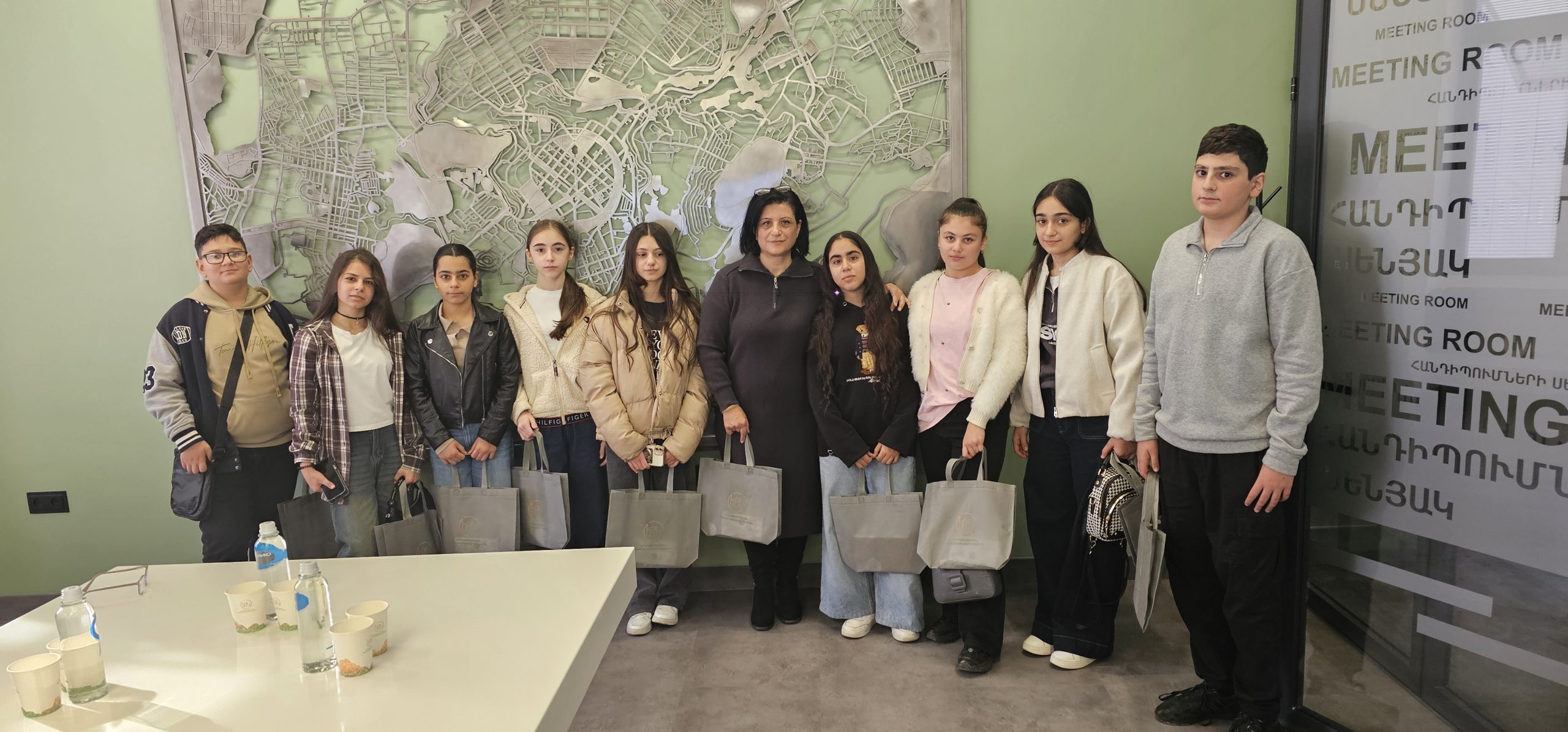


 During the visit, the students learned about the center’s activities, the main stages and applied methods of cartographic and geodetic work, and also had the opportunity to observe the operation of various instruments and explore ongoing projects.
 The students were also introduced to the specifics of laser scanning, aerial photography, and other related activities.
 We are convinced that such visits not only strengthen students’ interest in science and technology but also help them in choosing their future profession.