The Centre of Geospatial Technologies is a pioneering company specializing in geodetic surveying, aerial photography, mapping, and three-dimensional modeling of spatial data utilizing state-of-the-art technologies.
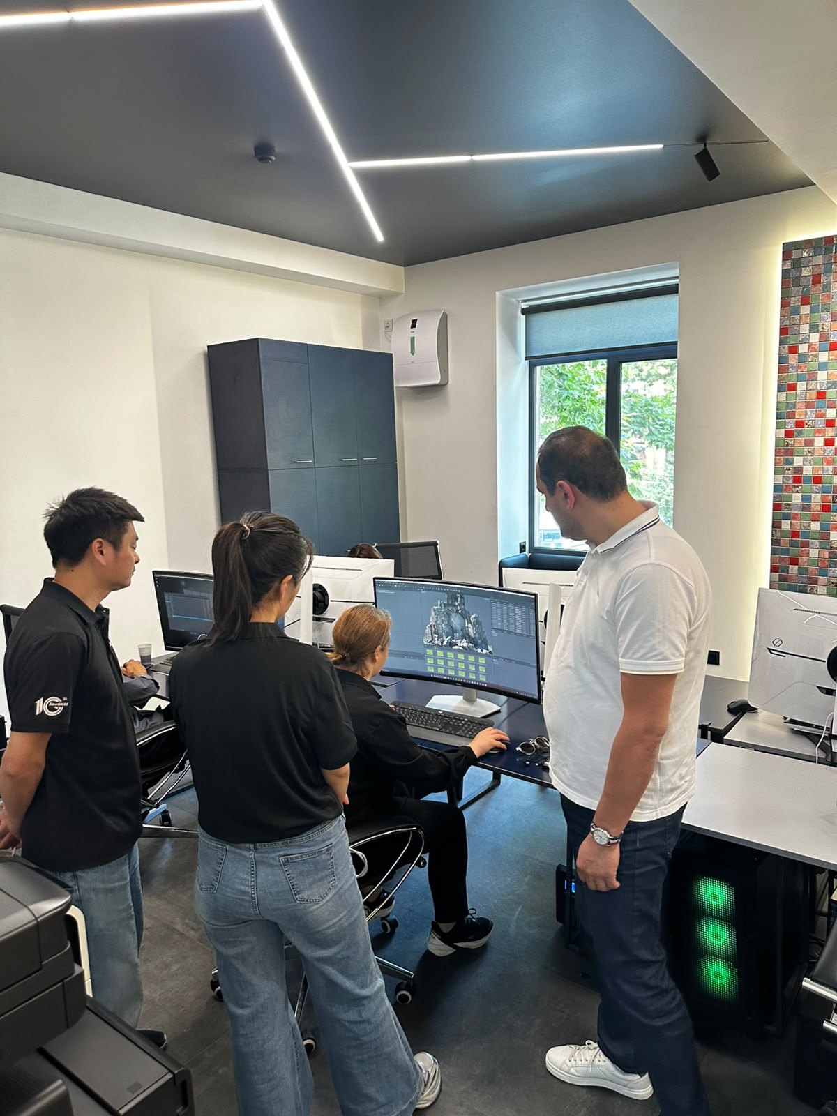
🧩 During the visit, the ComNavTech team introduced the company’s activities and innovative technological solutions. They also demonstrated the performance and accuracy of the #LS600 Laser Scanner in real-world conditions.
The guests were also introduced to the Center of Geospatial Technologies’ ongoing projects and the equipment currently used by our team.
🙏 The meeting took place in a productive working atmosphere, where both sides discussed potential areas and opportunities for future collaboration.