The Centre of Geospatial Technologies is a pioneering company specializing in geodetic surveying, aerial photography, mapping, and three-dimensional modeling of spatial data utilizing state-of-the-art technologies.
The portal has been developed in accordance with international aeronautical standards, including ICAO Annex and ICAO Doc 9881.
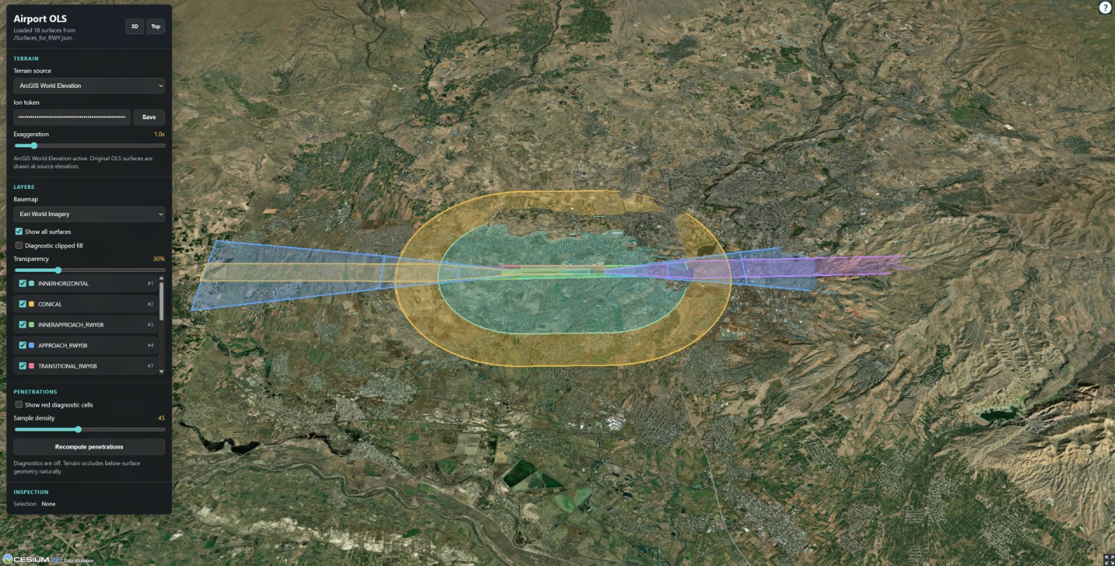
🗺️It includes geospatial layers covering the airport area, such as runways, buildings, obstacles, terrain, and other spatial data, as well as a 3D representation of Obstacle Limitation Surfaces (OLS).
🌐The portal is built on a modern Web GIS architecture, using PostgreSQL/PostGIS, GeoServer, OGC WMS/WFS/WMTS, and other services.
We provide a complete workflow — from spatial data collection and processing to Web GIS development and integration.