


The Centre of Geospatial Technologies is a pioneering company specializing in geodetic surveying, aerial photography, mapping, and three-dimensional modeling of spatial data utilizing state-of-the-art technologies.

Mon - Fri 09:00 - 18:00,
Sat - Sun - CLOSED
 

Archive

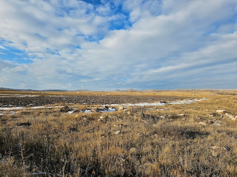
Client: Quercus Heritage (QH)Period of work implementation: November 2023 to April 2024Description: Aerial Imagery Capture and Survey of the 827 ha area of ​​the 200 MW solar photovoltaic (PV) power plant planned in the area between Talin and Dashtadem communities of Aragatsotn marz. Activities performed: Aerial...
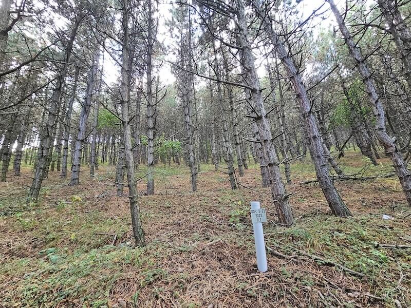
Client: Forestry Committee of the RA Ministry of EnvironmentPeriod of work implementation: May 2023 to December 2023Description: The project aimed to develop a forestry plan for the next 10 years for Tumanyan Forestry. The project was executed in three stages. During the first stage, preparatory work...

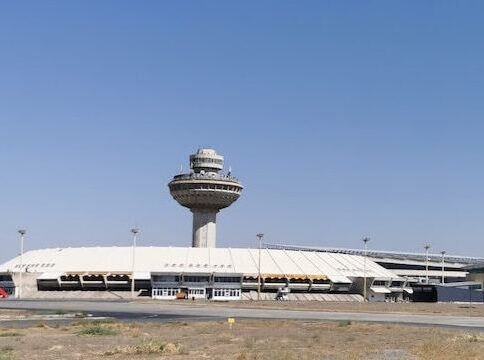
Client: Armenia International Airports CJSC Period of work implementation: 2024 Description: Throughout the project, we carried out several tasks including: Monitoring and inspecting existing obstacles Adjusting and removing non-existent obstacles from the database Recording newly created obstacles Installing and observing main GPS points Balancing and calculating coordinates and heights Identifying and addressing obstacles Determining heights...