



Successful Geographic Mapping Experience in Dilijan
In this process, modern geodetic equipment was used for data collection and integration.
The Centre of Geospatial Technologies is a pioneering company specializing in geodetic surveying, aerial photography, mapping, and three-dimensional modeling of spatial data utilizing state-of-the-art technologies.
In this process, modern geodetic equipment was used for data collection and integration.

Dear GIS specialists, Heartfelt congratulations to each of you on the occasion of your professional day!

We are pleased to announce that the 2024-2033 forest management plan for the “Tumanyan Forestry” branch…

Dear colleagues, we are pleased to announce that on October 31, our team participated in the highly anticipated, prestigious event hosted by Leica Geosystems…

During this work, our professional team performed aerial photography of the tomb recently uncovered in the territory of the Karmir Blur…
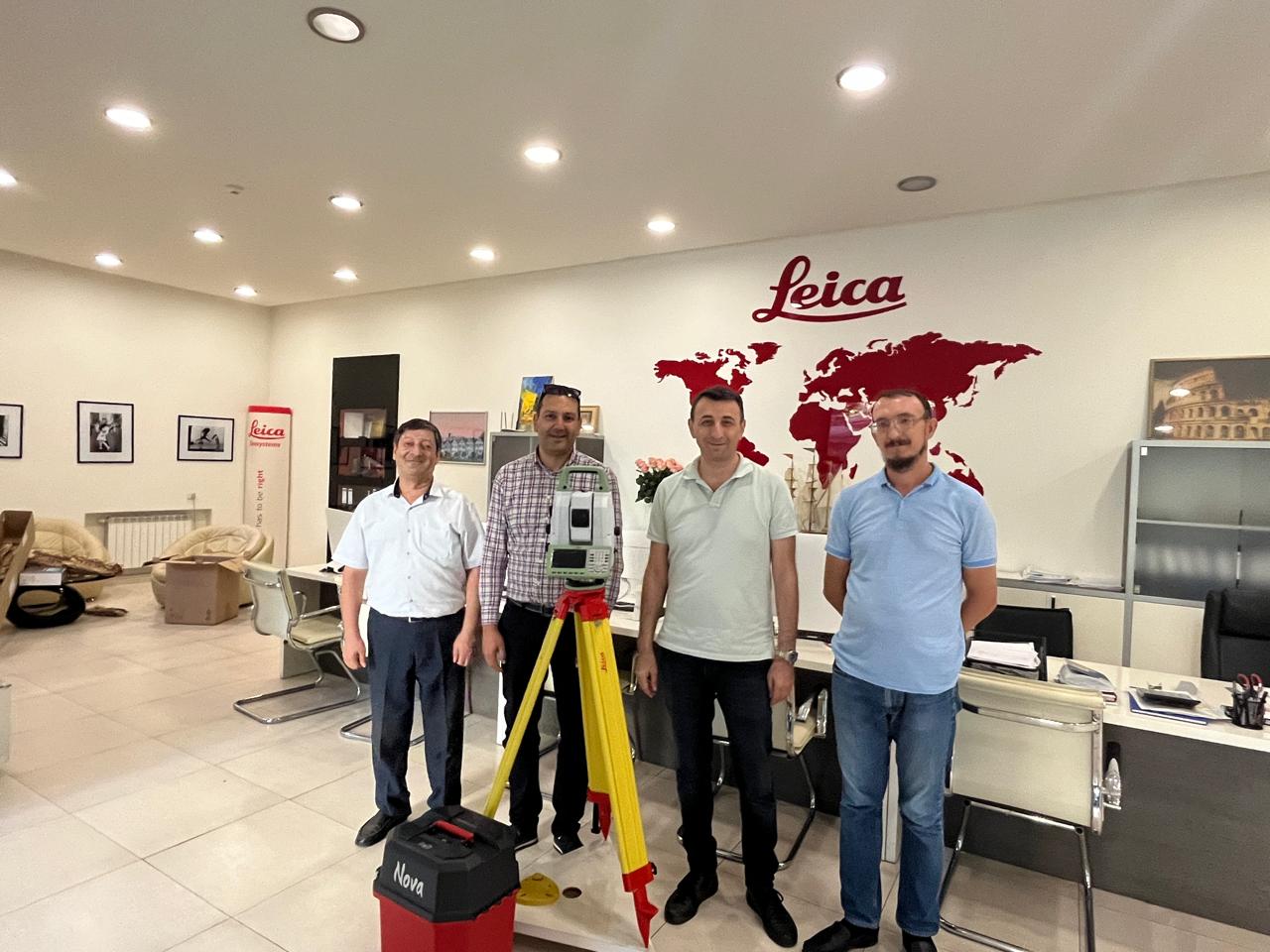
Imagine a device that combines the precision of a robotic total station with the speed of laser scanning. That dream has become a reality today. ????

The Center of Geospatial Technologies team is thrilled to celebrate the 4th anniversary of our founding!
Over these four years, we’ve embarked on a journey filled with innovative ideas, tireless work, and unwavering dedication.
As leaders in geospatial technology, we’re committed to setting new work standards by delivering advanced solutions for every project.
We take immense pride in our accomplishments and extend our heartfelt gratitude to our customers, partners, and employees for their support and collaboration.
Looking ahead, we’re excited by the new challenges and opportunities that await us. We pledge to continue innovating, expanding our horizons, and creating value for our society.
Thank you to everyone who has been part of this incredible journey. Here’s to reaching new heights together!
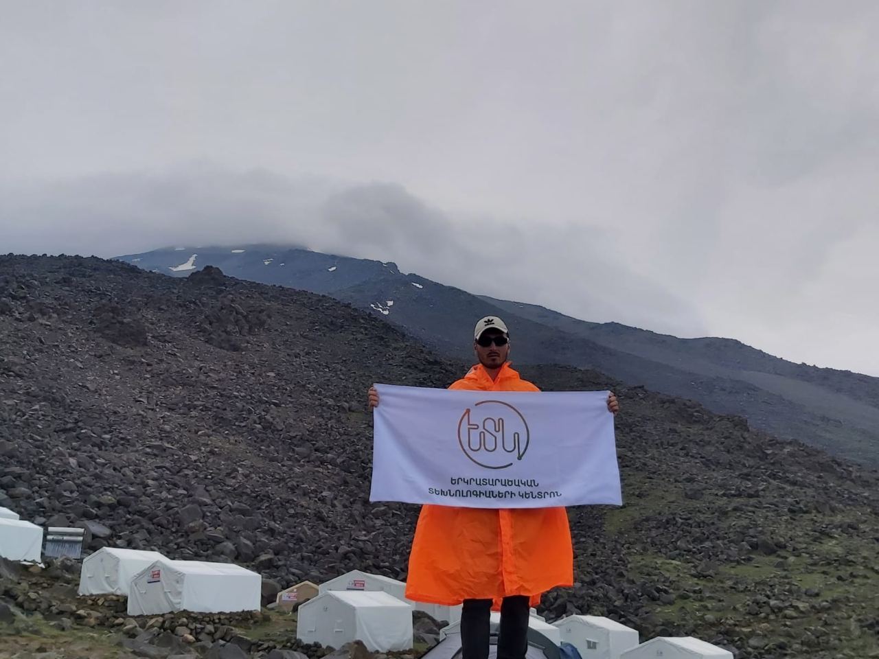
We’re thrilled to celebrate the success of Erik, one of our talented specialists, who recently reached the summit of Mount Ararat!
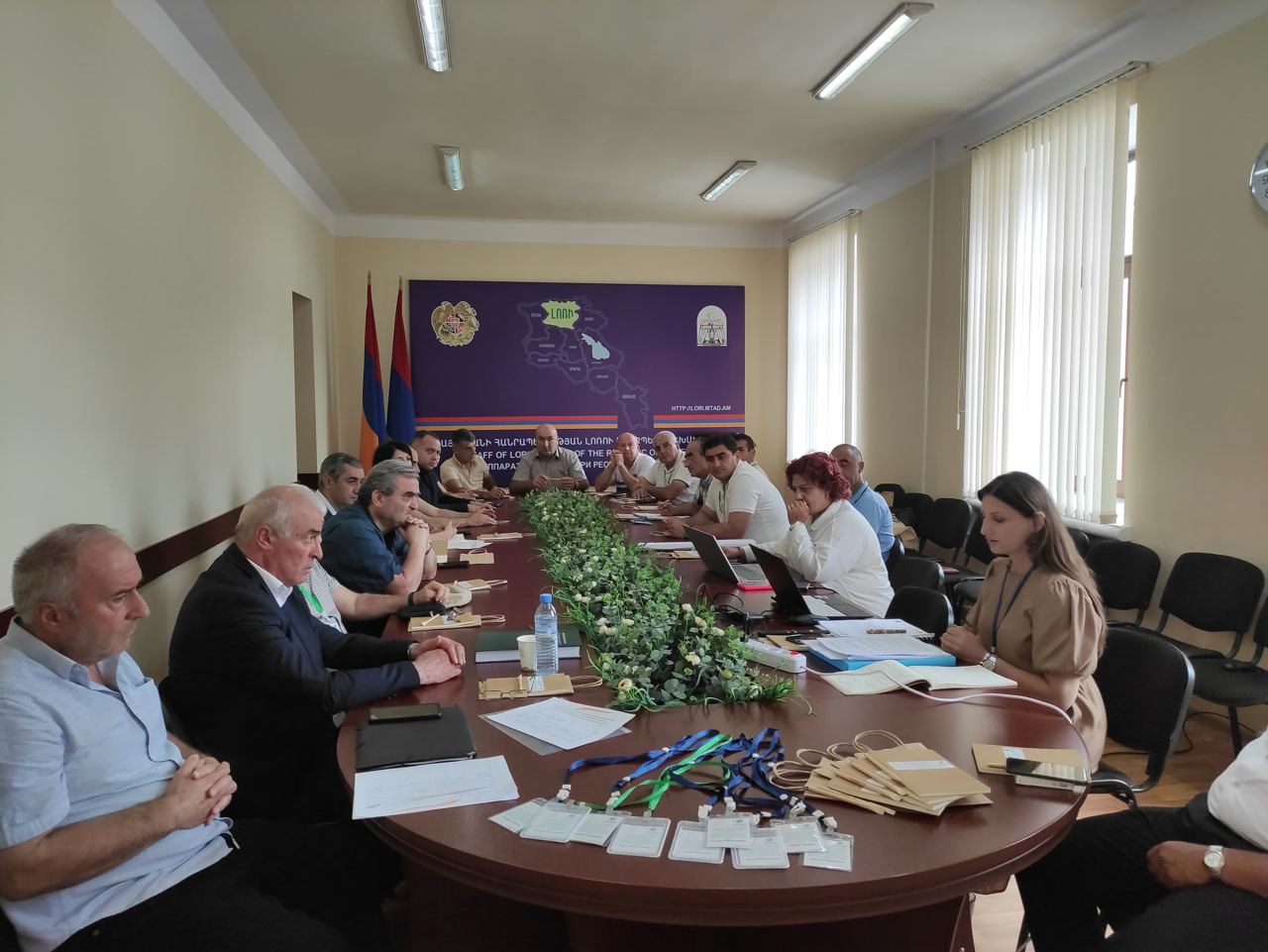
On July 25 of this year, a public workshop was held in Vanadzor, Lori region, to review the strategic environmental impact assessment report for Tumanyan’s forestry management plan.

We are pleased to announce our latest service offering: 3D laser scanning of enclosed spaces.
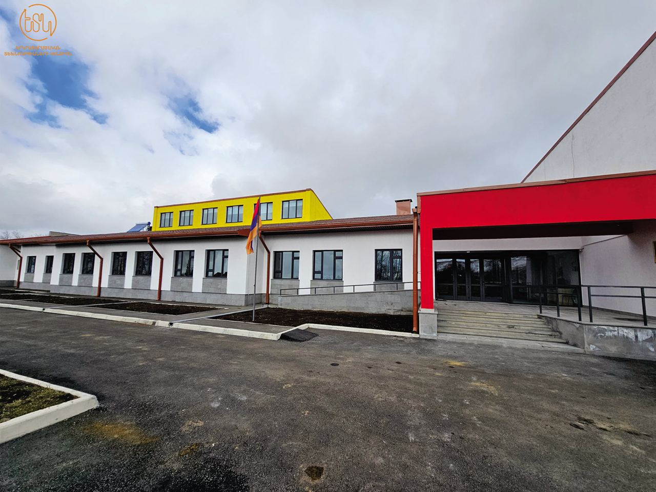
The Centre of Geospatial Technologies is delighted to announce the successful completion of another significant initiative aimed at enhancing the geographic laboratories of 100 schools across Armavir, Aragatsotn, Ararat, Kotayk, Gegharkunik, Shirak, Vayots Dzor, and Lori marzes.

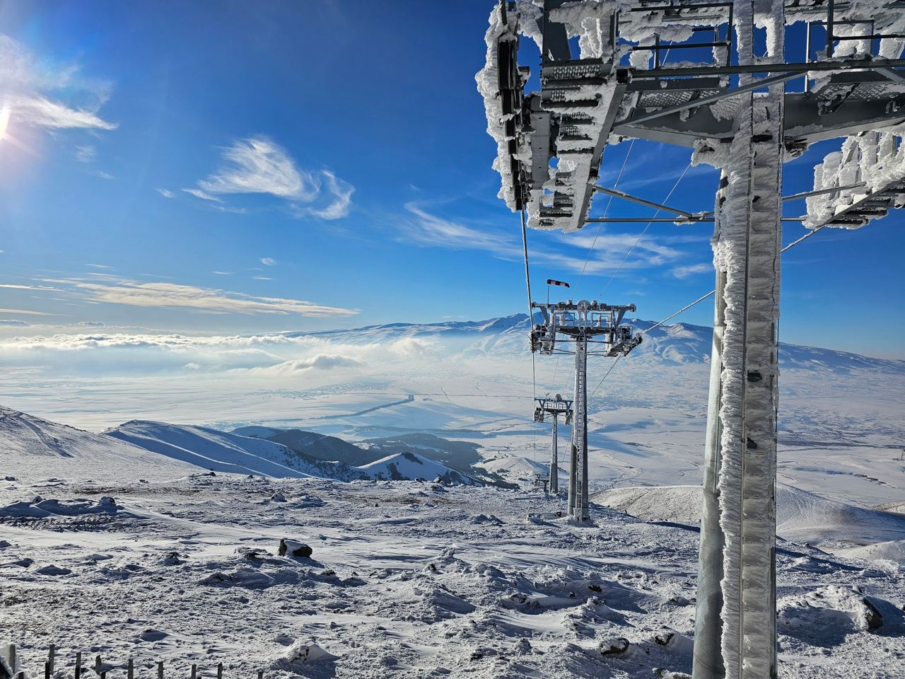
Harmonizing the beauty of nature with precision in geodetic works, we launched into 2024 on a high note.
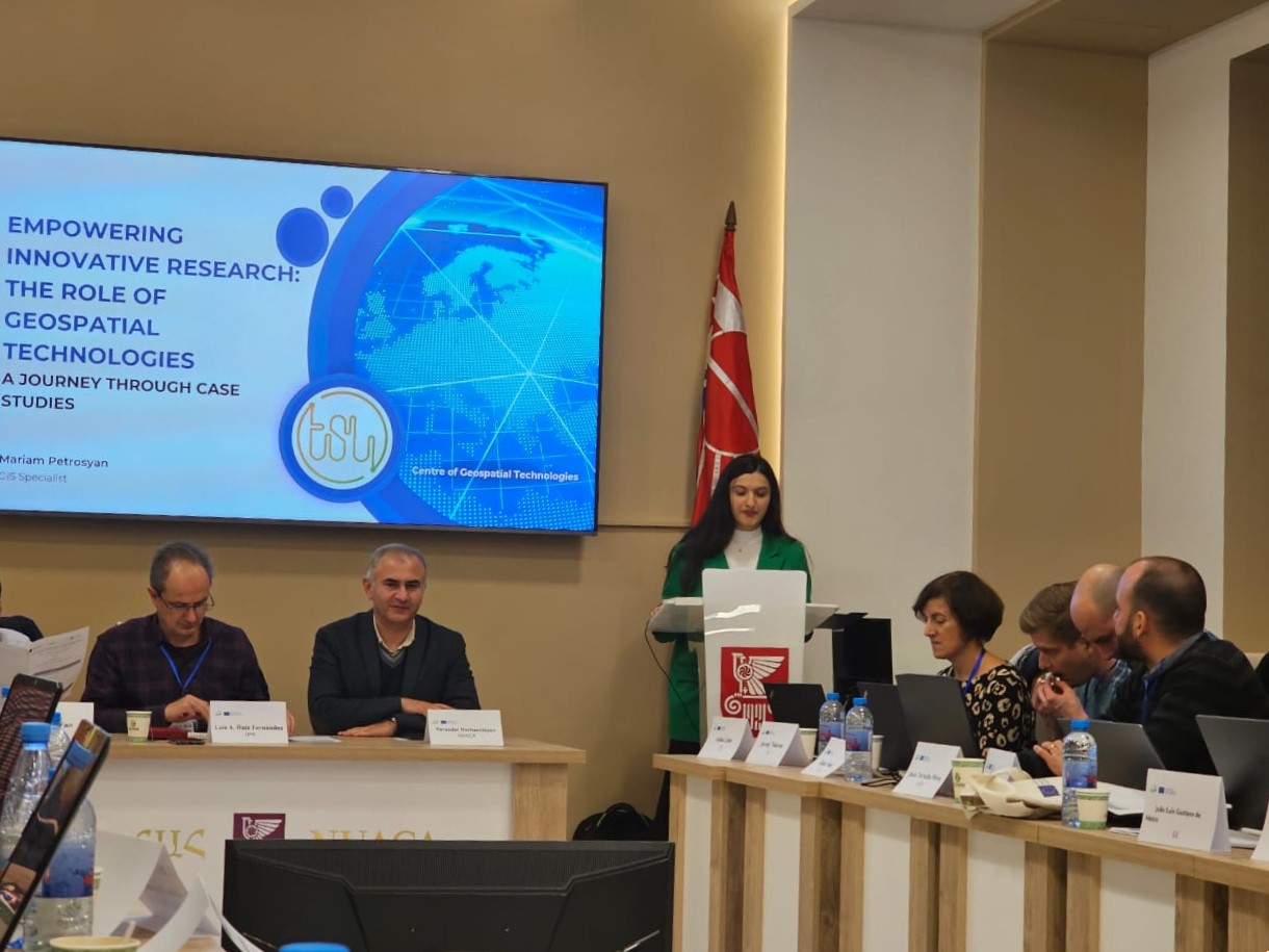
We are delighted to announce that the Centre of Geospatial Technologies continues to cooperate with educational institutions.

Laser scanning of the tunnels has turned into a reality in Armenia. The Centre of Geospatial Technologies has performed the laser scanning of Pushkin Tunnel.

We are thrilled to share the exciting news that the RA Ministry of Environment has given a positive conclusion to the Environmental Impact Assessment Report of the Vayots Dzor Forestry Management Plan.

Heartfelt congratulations to each of you on the occasion of your professional day!
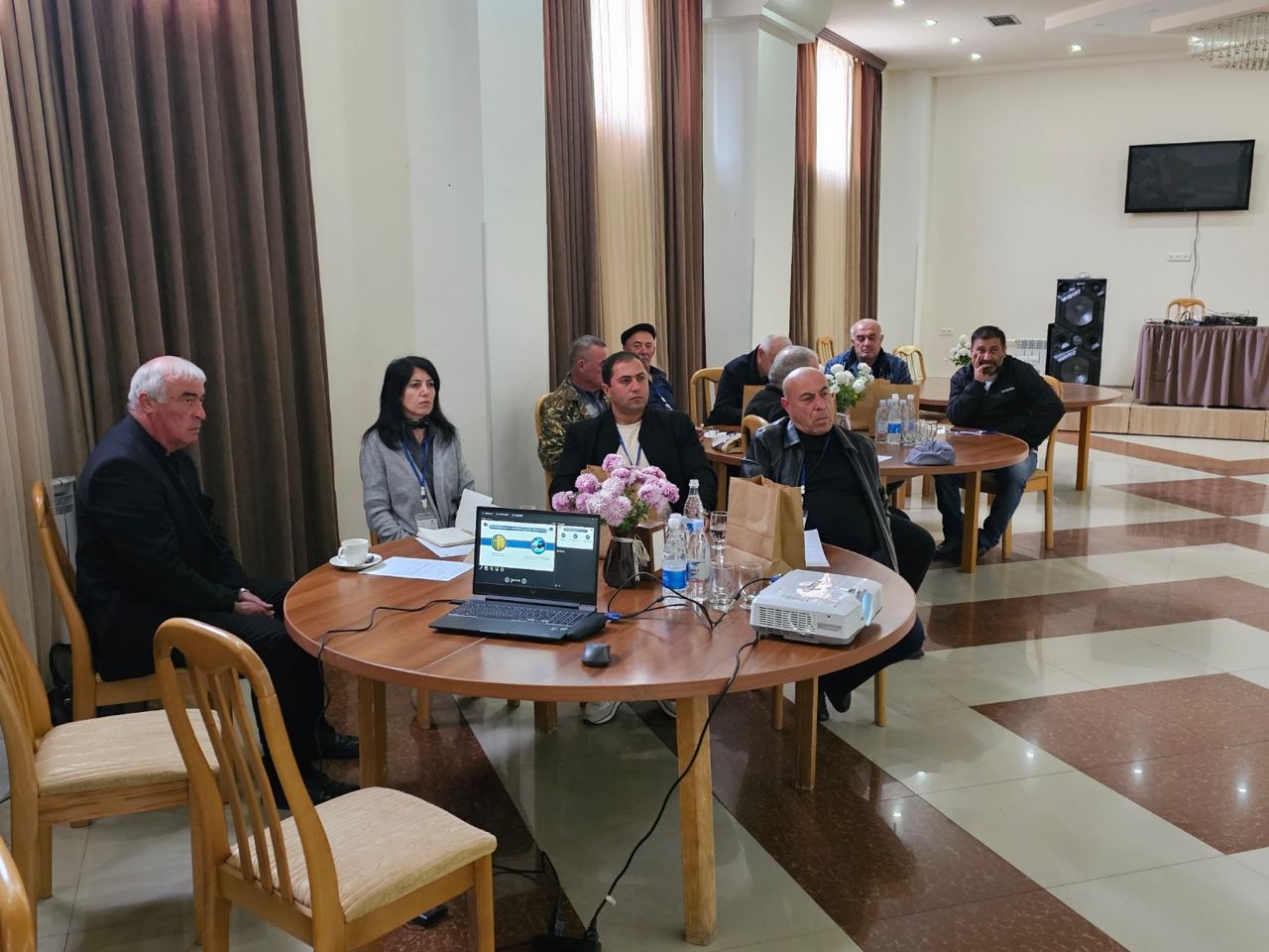
On November 11, the second forest planning consultation for the development of the forest management plan of the Tumanyan Forestry Branch took place in the Haghpat community of Lori marz.
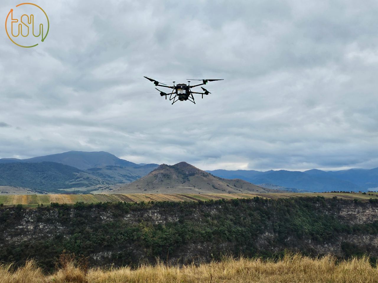
The Center of Geospatial Technologies, known for its commitment to innovation, recently conducted laser scanning of the Dzoraget canyon.

Long-awaited news: The Center of Geospatial Technologies was equipped with an AlphaUni 20 laser scanner.

The team of Centre of Geospatial Technologies celebrated the 3rd anniversary of the company’s foundation on August 18.

We extend our heartfelt congratulations to you on this special professional holiday and wish you continued success and achievements.
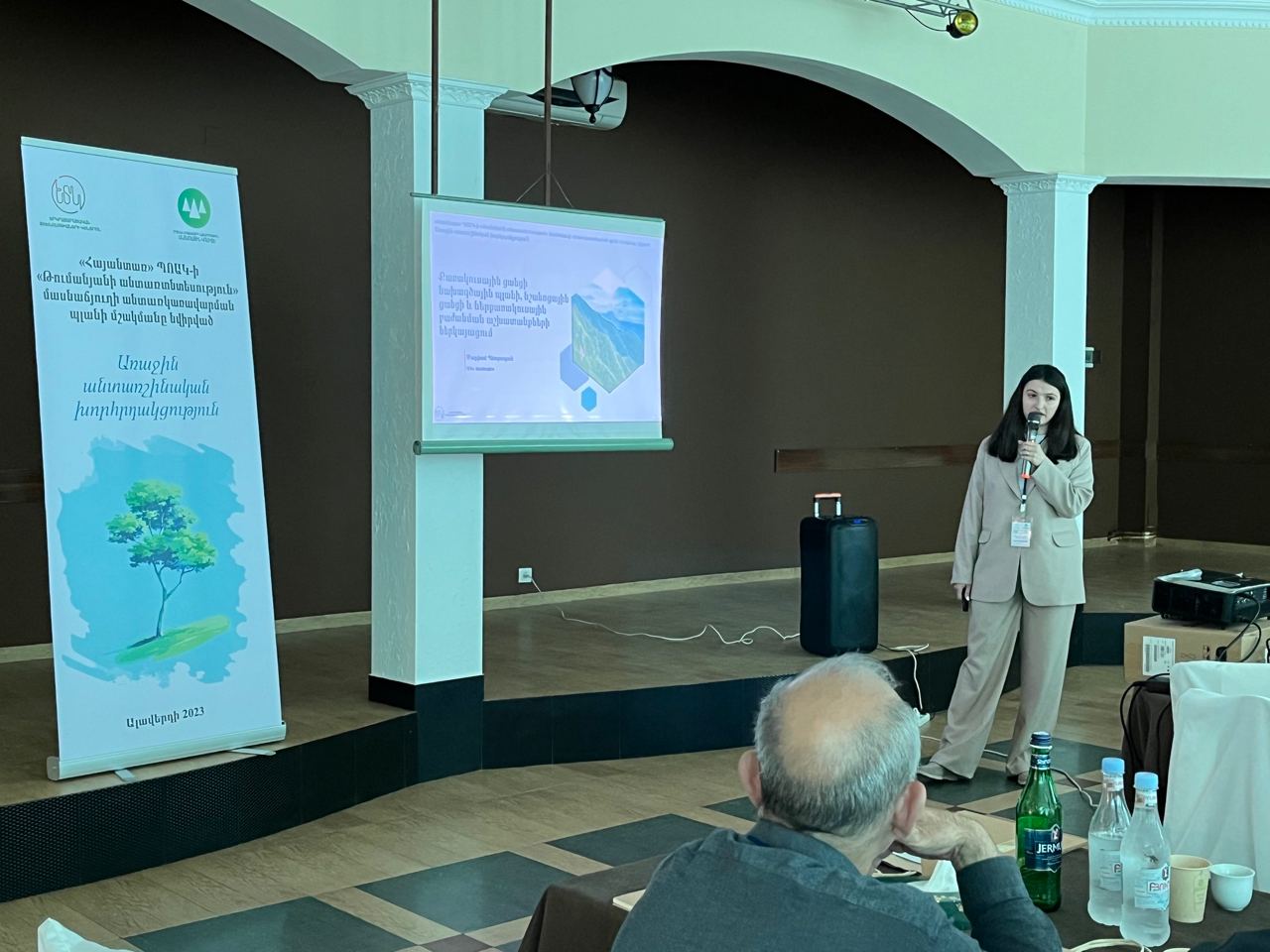
The first forestry meeting dedicated to the development of the forest management plan of Tumanyan forestry was held on June 21, in the city of Alaverdi.

We are happy to inform you that, continuing the cooperation with the Forestry Committee of the RA, we will implement the development of the forest management plan for the next 10 years of Tumanyan forestry.

