The Centre of Geospatial Technologies is a pioneering company specializing in geodetic surveying, aerial photography, mapping, and three-dimensional modeling of spatial data utilizing state-of-the-art technologies.
The Center of Geospatial Technologies has repeatedly referred to the advantages of developing three-dimensional models (3D) using drones and presented its successes and achievements in this field.
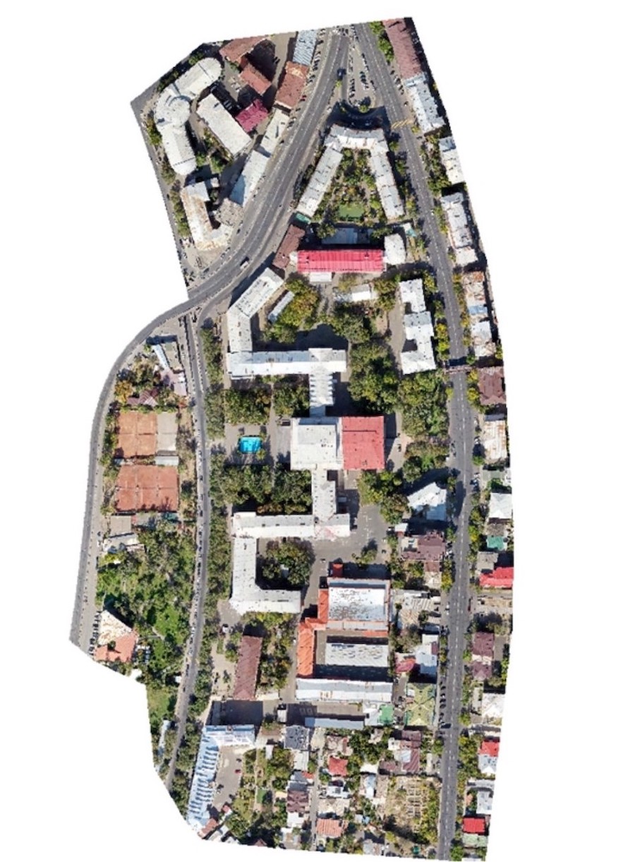
The work of creating a three-dimensional model of the Yerevan State University is also one of the similar remarkable and important projects, because this method made it possible to develop a realistic and actual model of the main building of the University with great accuracy in a short period of time.
We assure that we will continue to provide high accuracy, efficiency and completeness of three-dimensional models and other applied systems by using modern remote sensing technologies and methods.