The Centre of Geospatial Technologies is a pioneering company specializing in geodetic surveying, aerial photography, mapping, and three-dimensional modeling of spatial data utilizing state-of-the-art technologies.

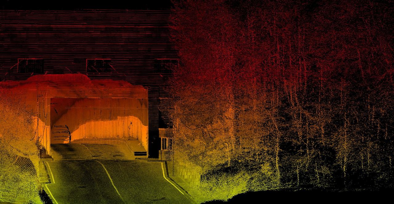
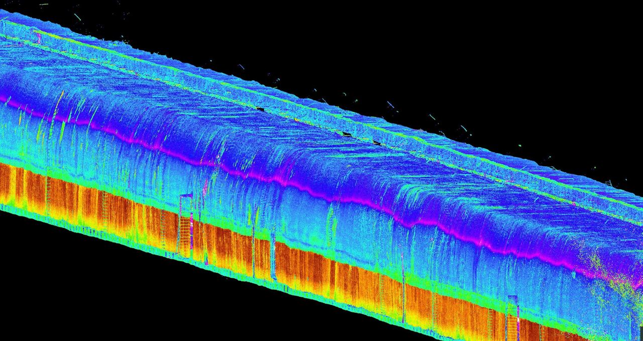
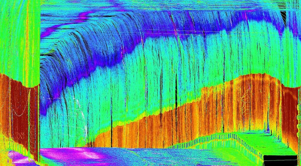
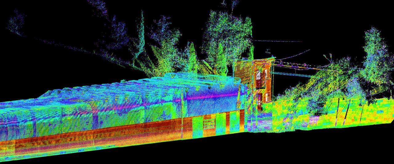
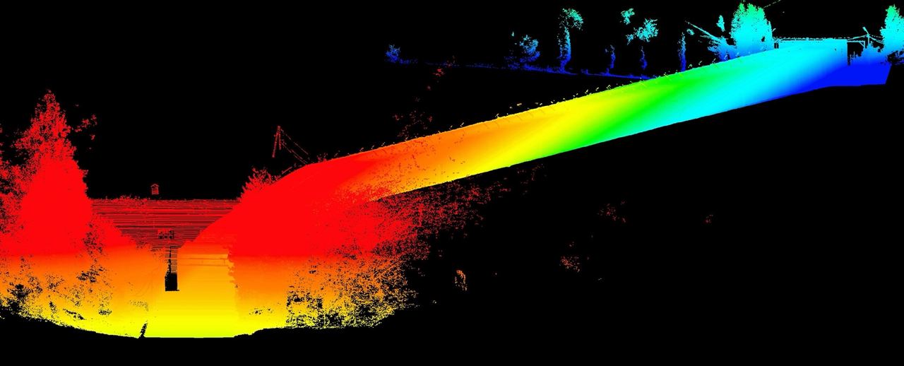
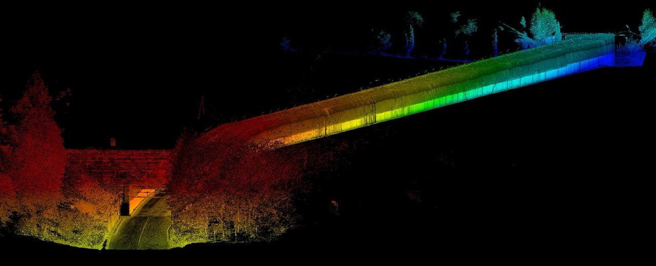
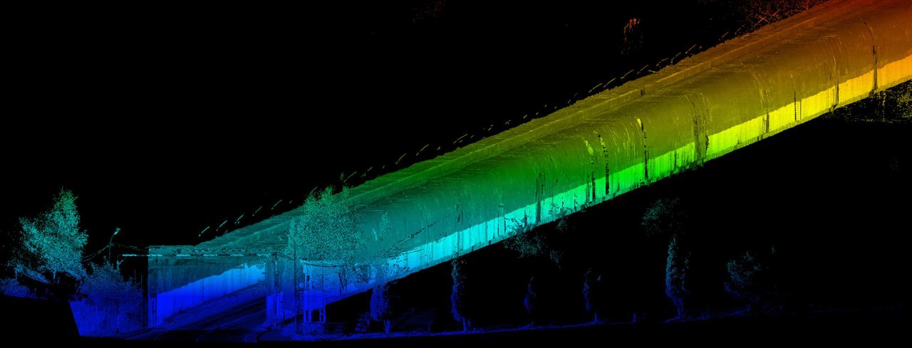
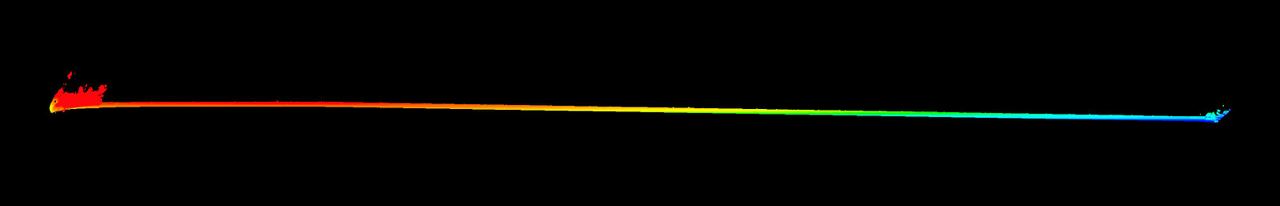
Laser scanning of the tunnels has turned into a reality in Armenia. The Centre of Geospatial Technologies has performed the laser scanning of Pushkin Tunnel.
Overall, laser scanning of the tunnels is a rather cumbersome task for the geodesists, taking into consideration the intensive vehicle traffic and some other professional issues. Each obtained point has x, y, z coordinates but also is assigned parameters of intensity and real color.
There are numerous advantages of laser scanning, including contactless survey, unprecedented level of obtained details, speed, high accuracy and survey of large areas. It is also possible to obtain data on the sizes, types of deformations, alterations, etc. with laser scanning in tunnels. We are ready to support you in your projects as well.
+374 93 22 97 23