The Centre of Geospatial Technologies is a pioneering company specializing in geodetic surveying, aerial photography, mapping, and three-dimensional modeling of spatial data utilizing state-of-the-art technologies.
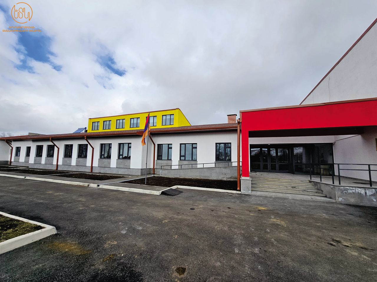
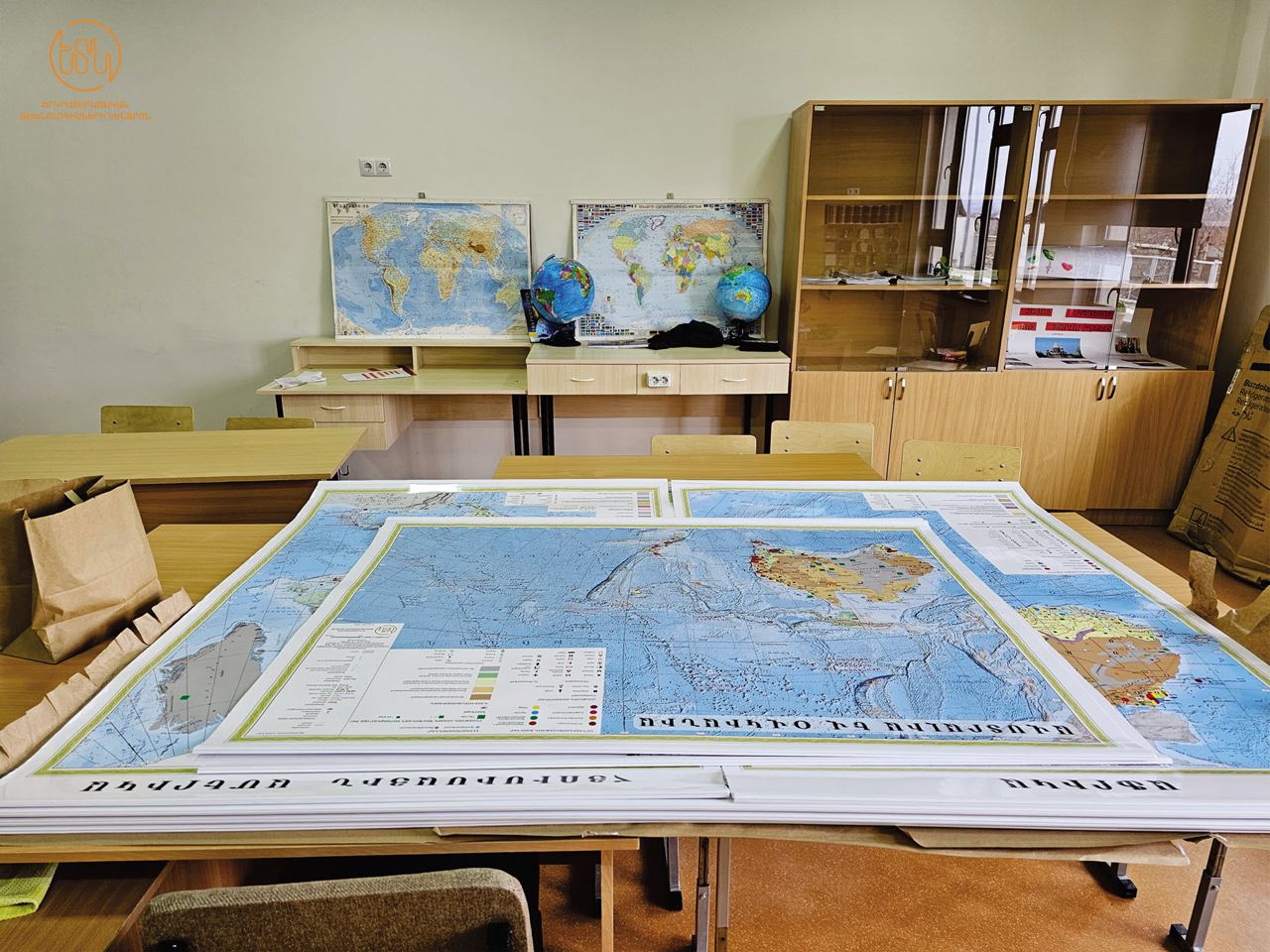
The Centre of Geospatial Technologies is delighted to announce the successful completion of another significant initiative aimed at enhancing the geographic laboratories of 100 schools across Armavir, Aragatsotn, Ararat, Kotayk, Gegharkunik, Shirak, Vayots Dzor, and Lori marzes.
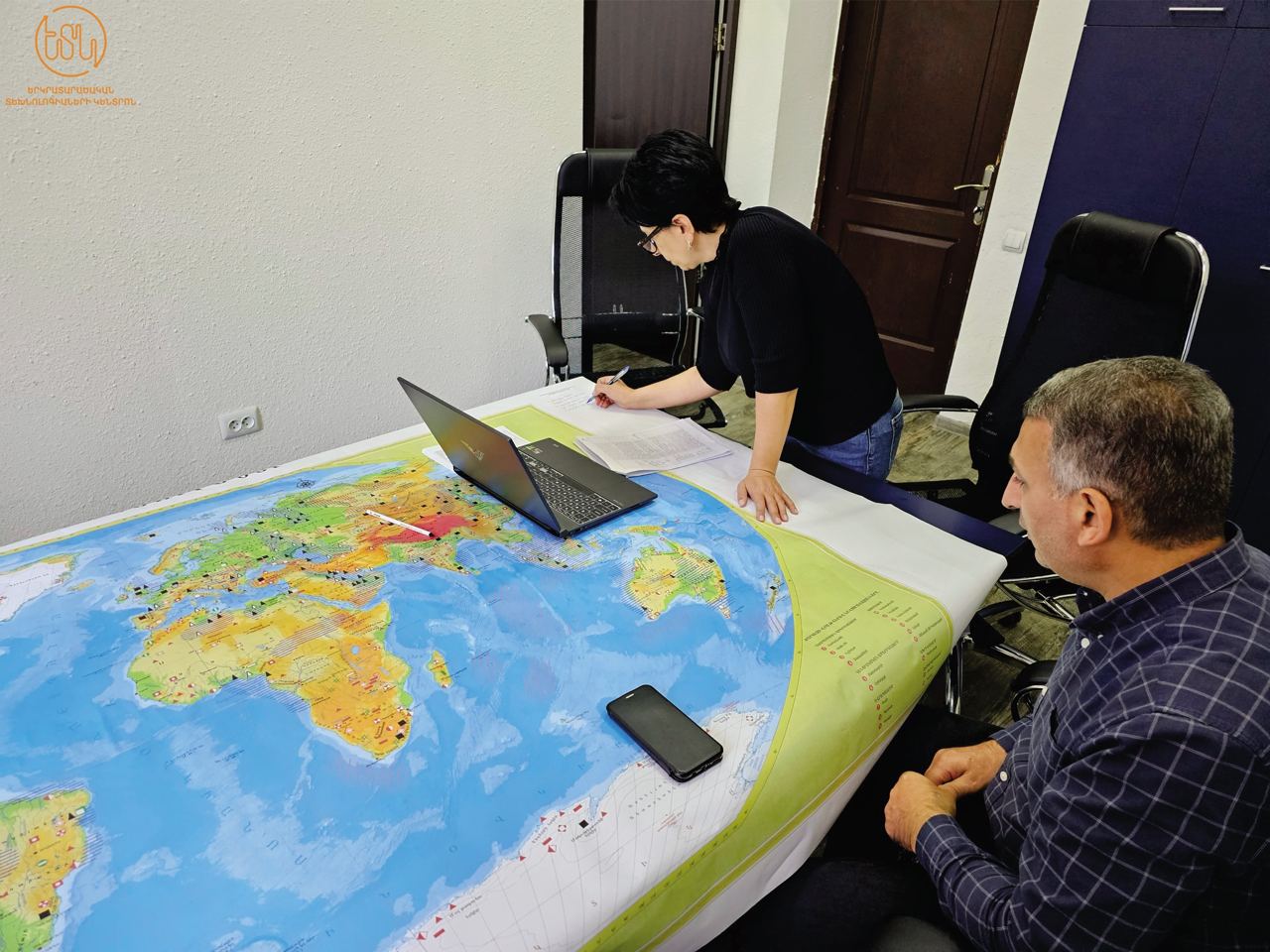
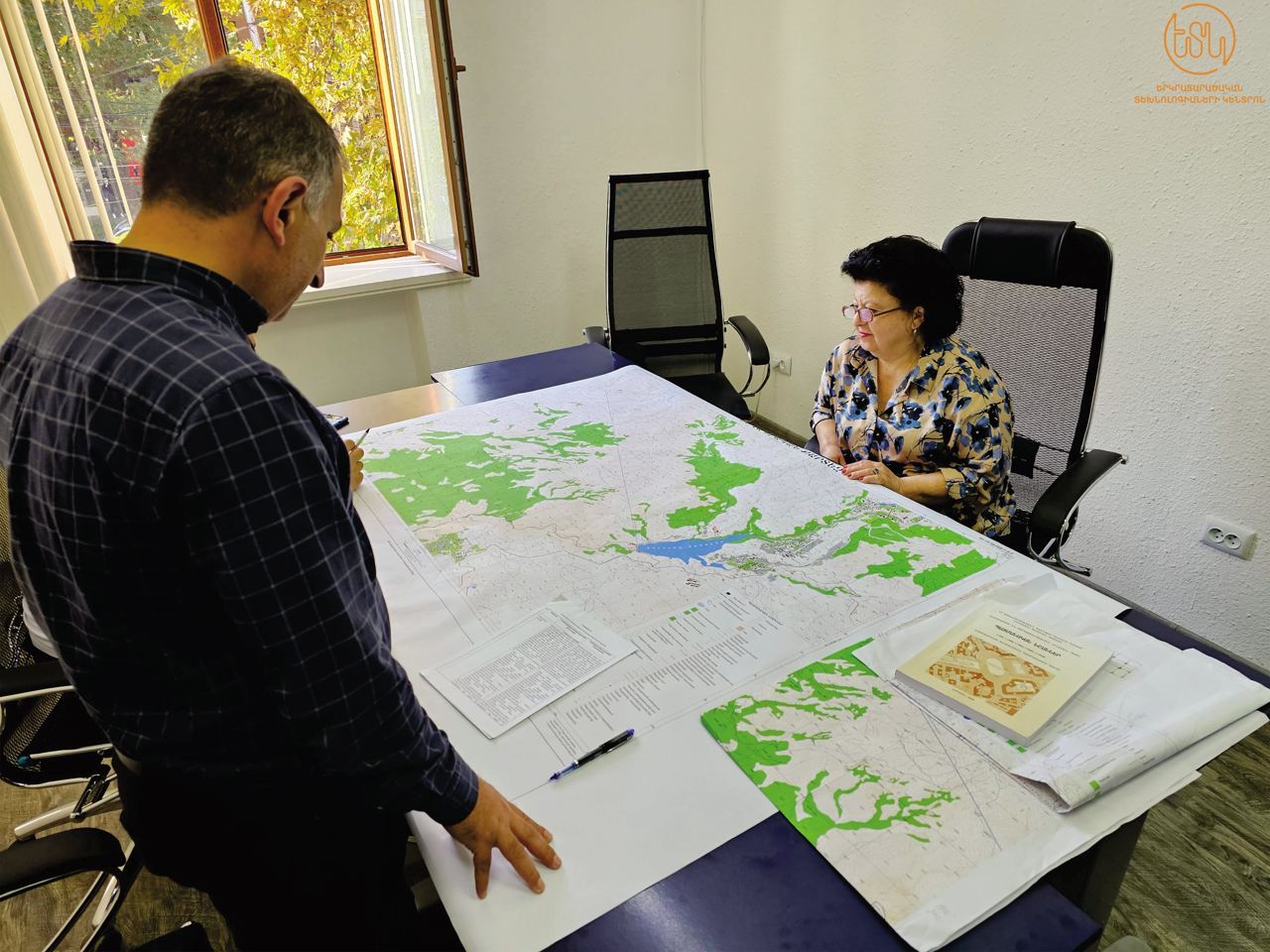
In collaboration with the “Educational Programs Center” of the RA MօESCS our dedicated team with highly qualified experts has worked diligently over the past year to compile and publish 13 types of maps covering Armenia and the world. These include general geographical maps of the Armenian highlands, World political, physical, thematic maps, topographical maps, and plans.
It's worth noting that school geographic laboratories often lack updated maps, and some of the maps provided are being published in newly independent Armenia for the first time.
The Centre of Geospatial Technologies extends its gratitude to the dedicated cartographers and experts who contributed to this monumental and patriotic endeavor. We believe that these maps will revolutionize the teaching and learning of Geography in schools, making it more effective than ever before.
P.S.: Among our various initiatives, we hold this project in high regard and express our heartfelt appreciation to the schools for their enthusiastic participation and valuable feedback.
We believe that these resources will redefine and enhance the teaching and learning of Geography in schools, making it more effective than ever before.