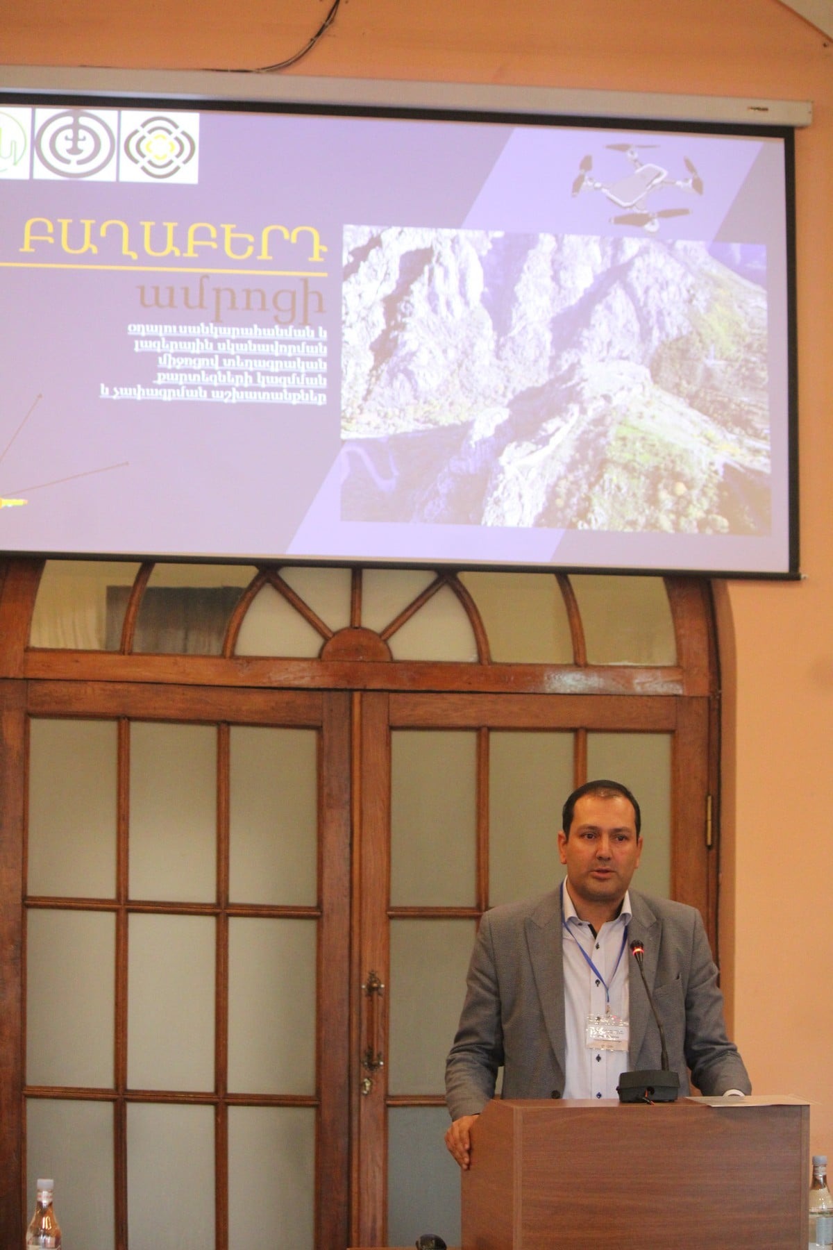



The Centre of Geospatial Technologies (CGT) participated in the international conference “Fortresses and defense systems in the Near East”, held at the National Academy of Sciences of Armenia.
 CGT Director Aram Stepanyan delivered a presentation entitled
“Aerial Photography, LiDAR scanning, and topographic mapping of Baghaberd fortress.”
 The report highlighted the latest tools and methods applied in conducting high-precision surveys and data collection within the Baghaberd area, including:
 aerial photography,
 LiDAR laser scanning, and
 topographic analysis.
 Мы рады, что команда ЦГТ является частью этого важного научного и культурного процесса.