The Centre of Geospatial Technologies is a pioneering company specializing in geodetic surveying, aerial photography, mapping, and three-dimensional modeling of spatial data utilizing state-of-the-art technologies.


Client: Forestry Committee of the RA Ministry of Environment
Period of work implementation: May 2023 to December 2023
Description:
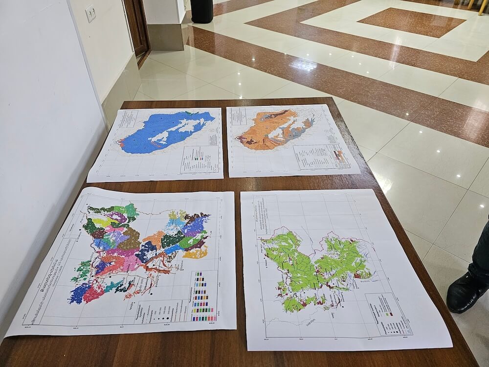
The project aimed to develop a forestry plan for the next 10 years for Tumanyan Forestry. The project was executed in three stages. During the first stage, preparatory work included gathering cartographic information essential for adjusting forest boundaries and compiling historical data on forestry activities from previous years. Preliminary adjustments and segmentation of forestry boundaries were verified.
The second phase involved conducting field forest inventory work and establishing databases for forest inventory segments.
In the third phase, based on the database collected, analyses were conducted to formulate a forest management plan for the upcoming 10 years.
Activities performed:
Project planning and management, forestry consulting, cartographic and geodetic services, database creation and management, field forest inventory operations, laser scanning.