The Centre of Geospatial Technologies is a pioneering company specializing in geodetic surveying, aerial photography, mapping, and three-dimensional modeling of spatial data utilizing state-of-the-art technologies.

The Centre of Geospatial Technologies is a pioneering company specializing in geodetic surveying, aerial photography, mapping, and three-dimensional modeling of reliable spatial data utilizing state-of-the-art technologies. Since its establishment in 2020, the company has successfully completed over 70 international, national, and local projects, consistently emphasizing its dedication to technological advancement and maintaining high standards of quality and precision in its work.


 (1) (1) (1)")

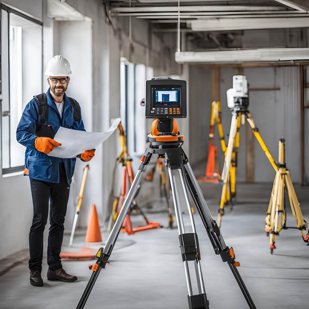
Our company offers geodetic services, including site and building surveys, geodetic network creation, and the implementation of engineering geodetic and surveying works.


Providing high-resolution aerial images and precise 3D measurements through advanced drone technology and photogrammetric analysis for detailed mapping and surveying.


Offering expert guidance and education in geospatial technologies, including GIS, remote sensing, and data analysis, to enhance your project outcomes and skills.
From surveying and measurement to compilation of geoportal development, we've got you covered. Contact us today for a free consultation.
I highly recommend the Centre of Geospatial Technologies for their exceptional expertise and professionalism demonstrated during the "Ayg-1 Aerial Imagery Capture and Survey" project, where their advanced methodologies and meticulous planning resulted in superior outcomes.
I highly recommend the Centre of Geospatial Technologies. As a CHCNAV product user, I’ve been impressed with how effectively they leverage our technology to deliver outstanding results. Their expertise and professional approach have greatly enhanced our projects, demonstrating their exceptional capability in geospatial solutions.
I wholeheartedly recommend the Centre of Geospatial Technologies for their exceptional expertise and innovative use of Leica’s geospatial technologies, consistently delivering impressive and reliable outcomes with a high level of professionalism and skill.

We utilize advanced technologies such as UAVs for aerial photography, photogrammetry, laser scanning, and geodetic surveying to ensure precise and high-quality geospatial data.
For instance, in the Ayg-1 project, we successfully completed high-resolution aerial imagery and geodetic surveying for a large solar power plant, overcoming challenges with precise data collection and detailed documentation.
Our process involves meticulous planning, employing state-of-the-art technology, conducting rigorous quality checks, and utilizing advanced methodologies to ensure the highest accuracy and quality of the data.
We customize our solutions by thoroughly understanding each project's specific requirements, applying relevant technologies and techniques, and providing tailored recommendations to meet diverse industry needs.