The Centre of Geospatial Technologies is a pioneering company specializing in geodetic surveying, aerial photography, mapping, and three-dimensional modeling of spatial data utilizing state-of-the-art technologies.
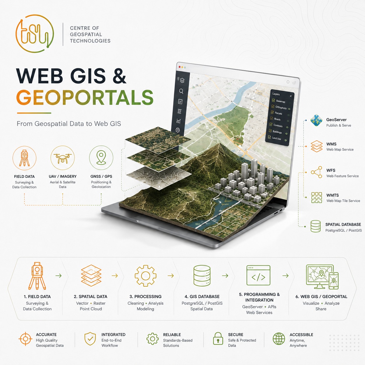
🌐We offer a complete workflow — from field surveying and spatial data collection to data processing, analysis, digitization, spatial data infrastructure development, programming, and integration into a unified web-based mapping system.
🎉We have already officially designed, developed, and currently maintain two geoportals, built on modern Web GIS architecture and compliant with established technical and software standards.