The Centre of Geospatial Technologies is a pioneering company specializing in geodetic surveying, aerial photography, mapping, and three-dimensional modeling of spatial data utilizing state-of-the-art technologies.
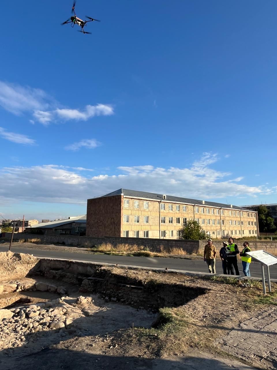
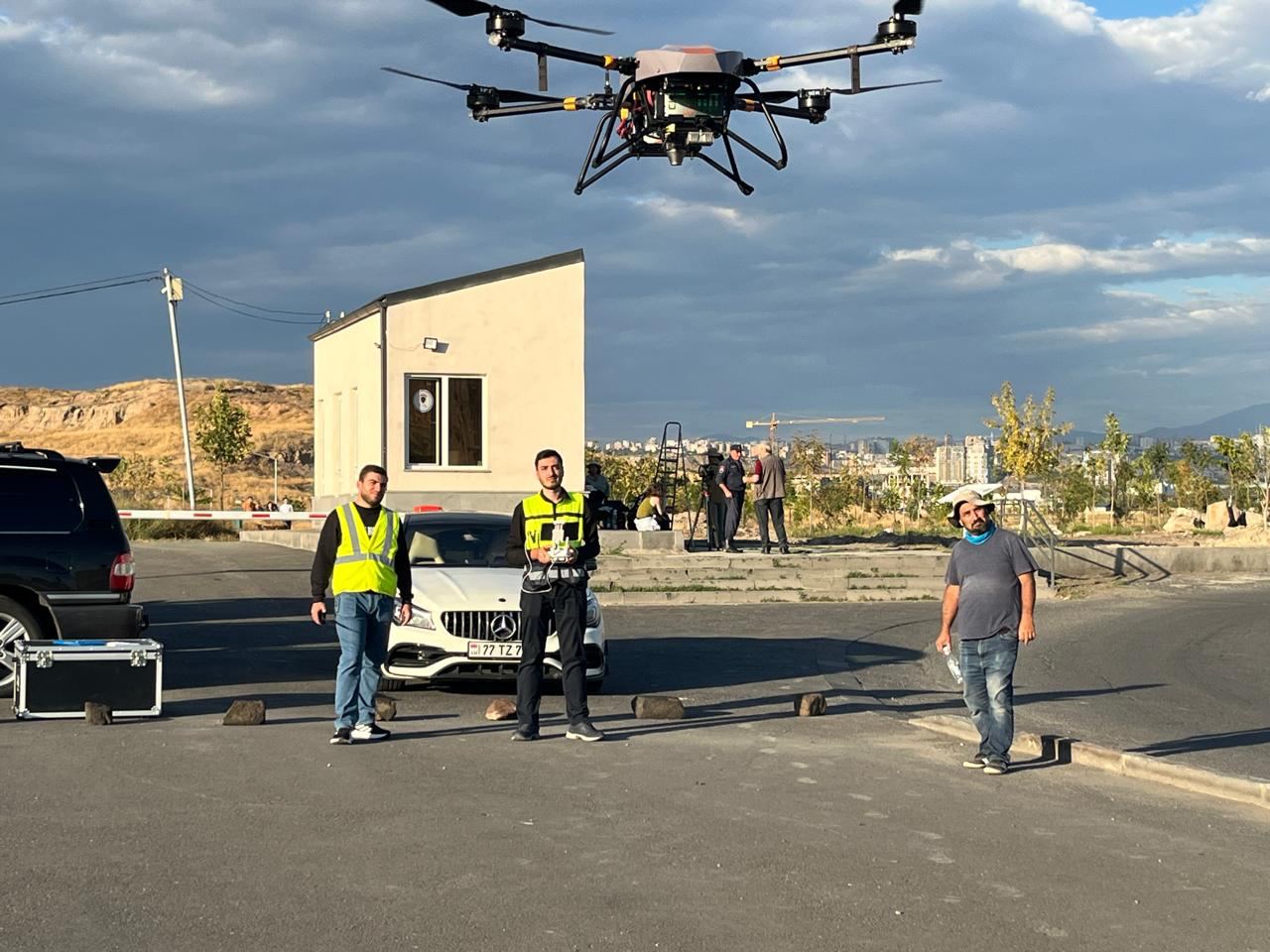
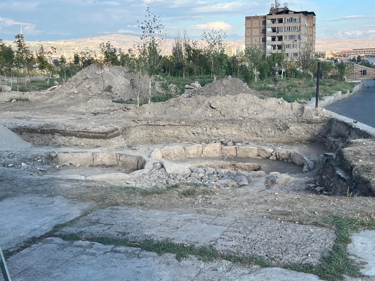
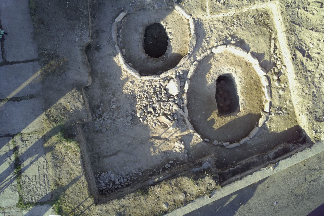
During this work, our professional team performed aerial photography of the tomb recently uncovered in the territory of the Karmir Blur archaeological site, which encapsulates millennia of historical mysteries.
It is both symbolic and inspiring to feel the significance and responsibility of the moment when cultural heritage is entrusted to future generations, creating a new platform for the evaluation and preservation of values through the integration of modern technologies and the expertise of competent specialists.
Thank you, Mikael Badalyan, for involving us in such an event.